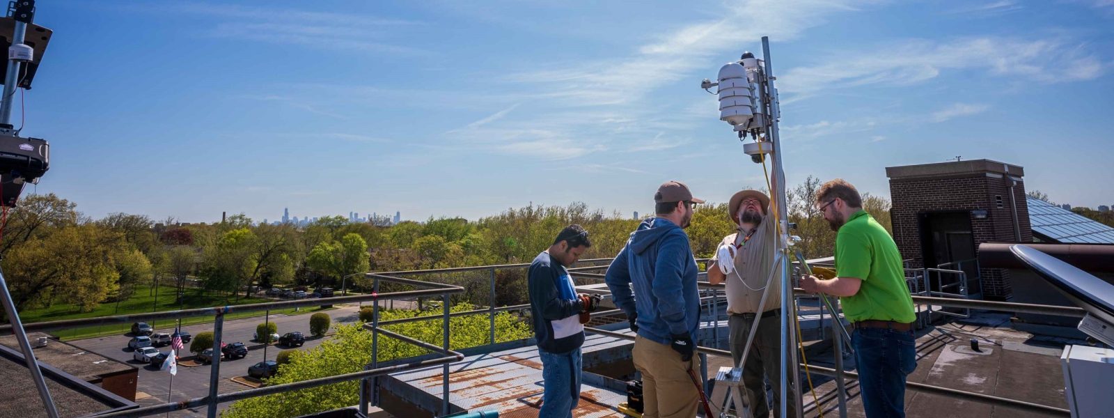
We use measurements and observations collected from the Chicago area to create detailed models. These models help scientists understand and share information about the regional, city, and street-level impacts of urban heat and atmospheric interactions.
Some of our recent models are below.
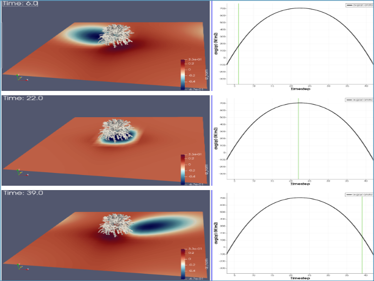
A
Modeling vegetation in urban streets
We are studying the ways that vegetation like trees, plants and green spaces impact Chicago microclimates.
A: This model shows the estimation of surface radiative flux under solar radiation accounting for canopy shading. The right pane is the time evolution of the radiative flux averaged over the model domain including the tree, green line marks the time corresponding to the shading shown on the left.
B and C: These models show a simulation over Humbolt Park with southerly wind using a RANS model developed from OpenFOAM. Trees are included for test in the three streets (two N-S and one E-W). Simulation results after 1 hour simulation time, 3D view of the temperature (B) and water vapor (C) mixing ratio distribution at the surface
(Wang and Fernando, manuscript in prep).
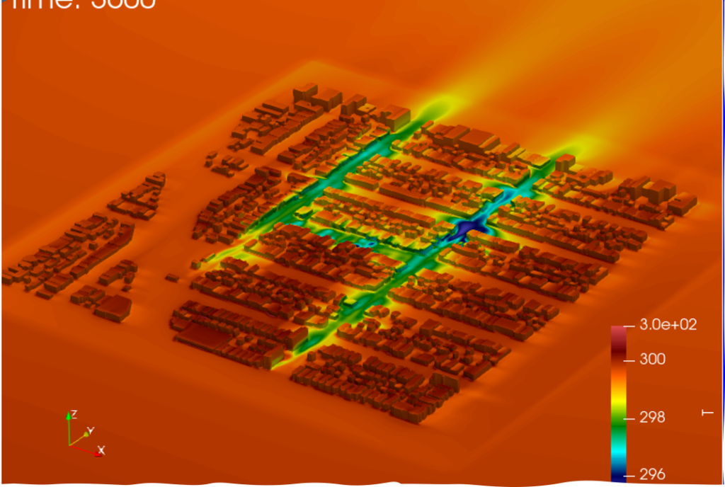
B
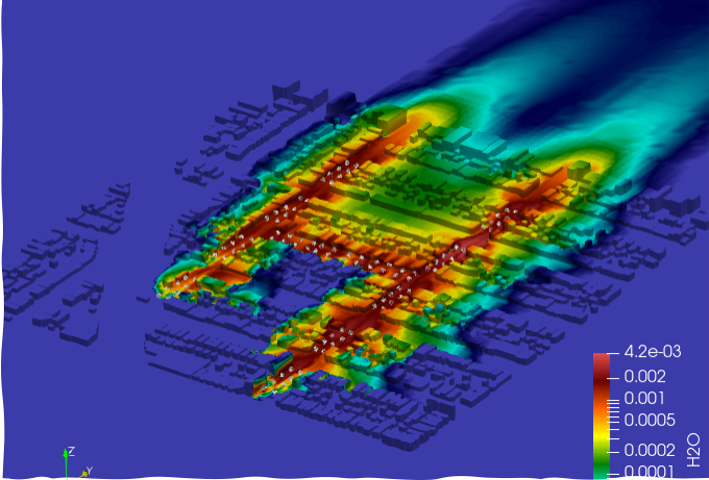
C